
A bad Back and an operation to fuse my lower spine have kept me away from paddling since March. And for a variety of reasons, mostly beyond my control, I had not paddled my home stretch of the Indian River Lagoon in over fifteen months.
A few weeks ago I went paddling with an outfitter who provided, lifted and carried the boat to spare my back (Click here to see that report). Now I was ready to see if I could lift and carry my boat to the water, paddle for several hours and return it to my trailer all on my own.
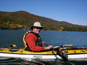
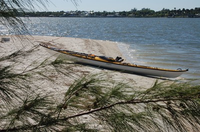
I chose to use Pinguino, my 14.5 foot kit boat by Pygmy Boats because it weighs only thirty-four pounds. (Click here to see reports on the building of Pinguino) I was able to get my Rack ’n Roll trailer close to the launch site and carry Pinguino to the water without a problem.
I had several objectives for this paddle. First I wanted to see if I could get my boat from the trailer to the water and back again without damaging the repair on my back.
Second, I wanted to see how well my back would hold up over several hours of paddling.
Third, I was anxious to explore my three favorite spoil islands, Indian River County Islands 1, 2 and 3 (IR1, IR2 & IR3). The islands are always changing shape and area and from shore it looked like the islands had accumulated additional wrecks beyond the wreck that had been on IR3 for some ten years. I find shipwrecks to be fascinating. I wonder about who owned them, how they happened to be where they were and why they were abandoned? They present a mystery about how a dream happened to end in this place. The video above explores these three wrecks.
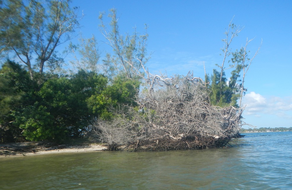
The up ended root system of an Australian Pine. That’s a small Australian Pine standing off to the left.
I have written before about the gradual disappearance of some of our spoil islands (see previous report). For the uninitiated, spoil islands were created when the intracoastal waterway was dredged in the 1950’s. the tailings or spoils were dumped all along the waterway creating a string of islands. These islands are all publicly owned and have three designations: Bird Sanctuary (stay off), Educational (day use only) and Recreational (open for picnics and camping). IR1 and IR3 are Recreational islands. IR2 is a bird sanctuary.
Each of these islands have been reduced in size, primarily because of the presence of an invasive tree, the Australian Pine. Australian pines seeded themselves on the newly created islands and over the years grew to be very large trees. The problem (other than their being a non-native species) is that their roots can’t tolerate being in salt water. Therefore, their root system speeds out horizontally in the top two feet of soil on the islands, above the salt water line.
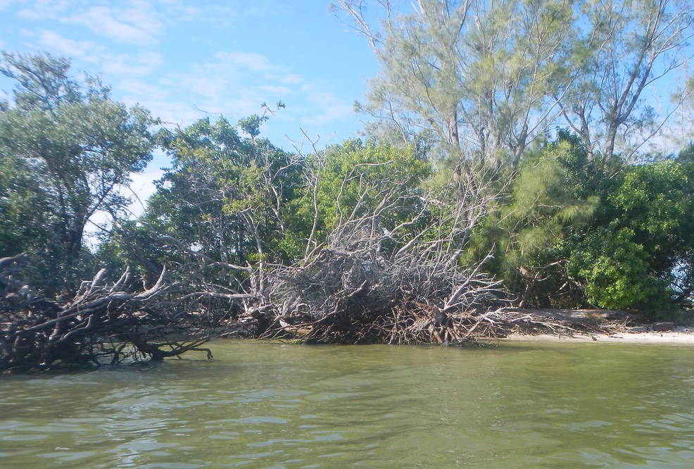
There used to be island under these roots. Now it has all washed away.
As the weather has changed and storms have become more powerful, these mature trees are being blown over, lifting their root systems and the soil attached to them. This allows waves to wash under and around the hole left by the uprooted tree, essentially washing away the island as there is nothing left to hold it. The video above explains this visually. My favorite island, IR1, is much smaller today than it was three years ago when Bruce and I camped here on a paddle from Fort Pierce to Melbourne (see this trip report).
It was great to be back on the Indian River Lagoon again. All in all, my back handled the adventure well. This bodes well for new adventures in the future.